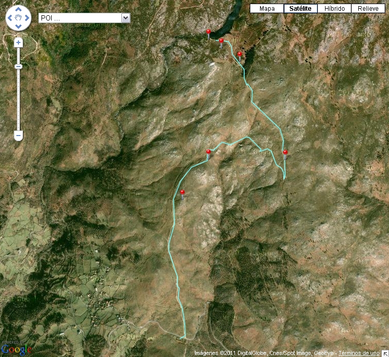
The route of Poza PiÃąeiro runs across the O SuÃdo range of mountains, defined by its rough geography and nature. Both, these mountains and the river Tea, give high natural value to the area. One of the few remaining wolf communities in Galicia survives here. The pond, also called A Poza de PiÃąeiro, is an important element of the landscape. This man-made dam was originally built in order to store the water for the irrigation of the surrounding farm lands. Nowadays it is considered a site of natural importance. The route offers stunning views over the valley carved by the river Tea.
- Routeâs name: Poza PiÃąeiro route
- Type of route: lineal
- Departure point: Village of PiÃąeiro
- Arrival point: Poza de PiÃąeiro
- Difficulty: medium - high
- Length: 7 kilometres
- Estimated time: 2 and a half hours